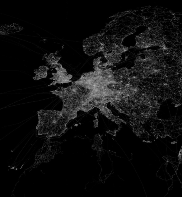
Section devoted to cutting edge spatial analysis of environmental phenomena. Using the latest Geographical Information Systems (GIS) models and latest Remote Sensing Images, we take a detailed analysis of the environmental scenarios (both past and present). The section is key to all stakeholder and decision makers to analyse the implication of multicriteria decision making. Both spatial and temporal variation of environmental phenomena is critically analysed.
GIS in Hazard Mapping
Many regions in the world are exposed to a number of natural hazards which cost billions of dollars annually. The growing impact of disasters in the past decades is mainly as a result of climate change. Out of 50 fastest growing cities in the world...
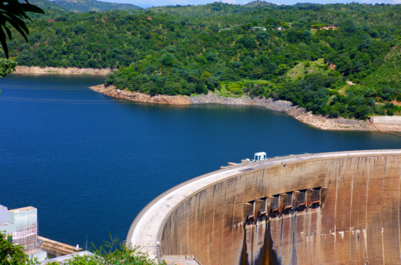
WORLD STEPS UP RENEWABLE ENERGY
With the price of energy ever fluctuating and security of supply never guaranteed in most countries, there is an imperative to move towards renewable energy technologies. Not only is renewable energy affordable in the long run, it is also cleaner to the environment. This is...
THE STATE OF GIS TECHNOLOGY IN SUPPORTING DECISION-MAKING
Making decisions single-mindedly looking at one dimension can be misleading, but a composite decision is necessary as a means of looking at the bigger picture. Better informed decision making is considered vital in assisting individuals, organizations, societies and nations to solve real-world problems. Decision making...


